
Auckland Whitebait Connection
We’re pleased to share that the Auckland branch of the Whitebait Connection has recently adopted the data collection, analysis and visualisation system we initially developed for Northland. The early results have been very encouraging.
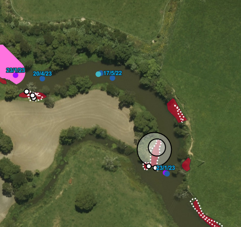
Since 2022, our system has supported the Northland branch's Īnanga Spawning Habitat Restoration Project. By developing mobile data collection apps; Saltwater Limit, Habitat Assessment, and Spawning Activity using ESRI Field Maps and Survey123, we’ve helped streamline data collection, improve accuracy, and perform real-time analysis. This has been key in guiding habitat restoration efforts and monitoring water quality.
Our system integrates with an ArcGIS Online Hub, offering interactive maps, a data editing tool, and a dynamic dashboard. It also supports spatial analysis to predict spawning zones and salinity gradients, aiding in effective riparian restoration.
The Auckland branch has now started using the system and the feedback has been positive. The tools are proving effective for their conservation work, allowing for efficient data collection and analysis for reporting.
The success with Auckland and Northland has generated interest from other branches and organisations who are keen to adopt the system. We’re looking forward to expanding our support to new partners and continuing to improve the service.
Thank you for your interest and support Mountains to Sea Conservation Trust and The Whitebait Connection!